Navigating Complexity in Confined Spaces
When faced with the challenge of capturing the spatial details of complex environments, precision is non-negotiable. Such spaces often contain intricate structures and limited access areas that traditional surveying methods find challenging. This is where the advanced 3D scanning services provided by “Know Your Space” come into play, offering a game-changing solution for spatial analysis and planning.


The Drone Advantage
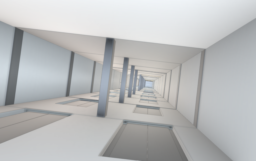
Consider the task of surveying an elevator shaft—critical for planning renovations or conversions, yet daunting due to its verticality and confined nature. “Know Your Space” services step in with a specialized drone, equipped with state-of-the-art imaging technology. High-resolution cameras and LiDAR sensors on the drone gather detailed information, bypassing the limitations and risks associated with conventional survey techniques.
Capturing Details from New Perspectives
The images we present showcase the proficiency of our drone-operated 3D scanning technology. Capturing multiple views of an elevator shaft, from basement to top, illustrates the drones’ adeptness at navigating and documenting tight spaces. This capability is not just about achieving unprecedented detail; it also promotes safety by eliminating the need for manual data collection in hazardous or inaccessible areas.
From Data to Interactive Modeling
The data collection is merely the starting point. “Know Your Space” excels in processing this information and incorporating it into Building Information Modeling (BIM) systems. The result is a detailed, interactive 3D model that serves as a critical tool throughout the planning and execution phases of any project. This integration enables thorough preparation, clash detection, and the exploration of various project scenarios, ensuring a comprehensive approach to space management and modification.
“Know Your Space” is dedicated to harnessing innovative technologies to bolster the precision, safety, and efficiency of spatial analysis and project planning. The showcased elevator shaft survey exemplifies our ability to address complex spatial challenges, reflecting the power of drone-based 3D scanning across various sectors. We are at the forefront of technological advancements in spatial analysis, ready to transform the way professionals approach their projects.
